Meteorological Monitoring
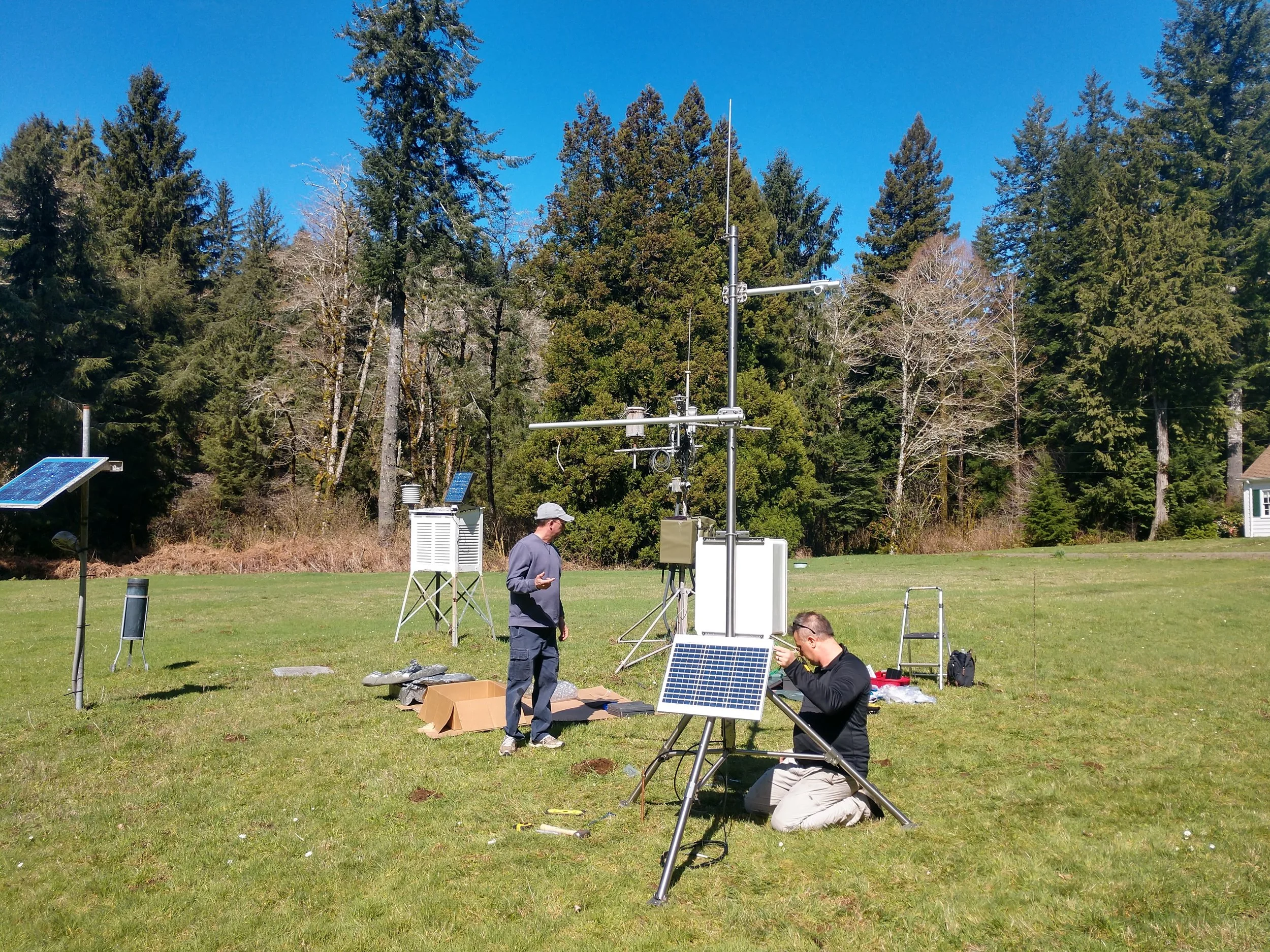
Weather conditions in the Cascade Head Biosphere Region are anchored by a meteorological station located at the U.S. Forest Service Cascade Head Experimental Forest headquarters. This station continuously records core climate variables including temperature, relative humidity, and wind.
To capture fine-scale variability across the landscape, an additional 10 micro-scale meteorological stations are deployed at the same reference sites used for other upland monitoring such as the pheno-cam and acoustic bat monitoring projects, collecting temperature and relative humidity data to support integrated ecological analysis across seasons and habitats.

Pheno-Cam Project
UPLANDS: A photo diary of a plant’s life. Studying plant phenology through the use of remote cameras. Volunteers help set up and deploy special cameras, download and sort images, and share phenological data with the world on Nature’s Notebook in this study of the UPLANDS.
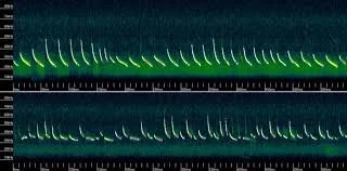
Sonogram of Bat Echolocation
BAT MONITORING
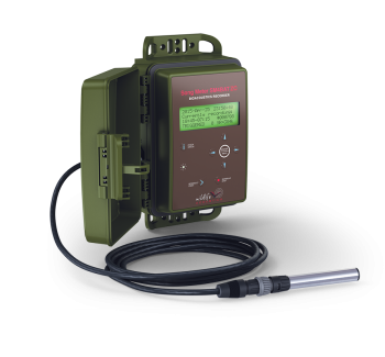
UPLANDS: Acoustic bat monitoring in the uplands of the Cascade Head Biosphere Region is done to determine which bat species are present throughout the year. Because bats rely on a form of hibernation or seasonal torpor when insects are scarce—and carry metabolic reserves roughly equivalent to a single pad of butter—it is critical for them to conserve energy during periods when food is unavailable. Ultrasonic recorders are deployed at 10 sites to detect echolocation calls, allowing researchers to assess whether bats are active during times of year when they are expected to be active. Recorded data are periodically downloaded and analyzed with specialized software to identify species presence and seasonal patterns.
Sitka Spruce
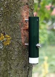
A new Sitka spruce monitoring project is being developed in the Cascade Head Biosphere Region to track tree growth and seasonal dynamics using dendrometers. These instruments provide continuous, high-resolution measurements of stem expansion and contraction, allowing researchers to assess growth rates, water stress, and responses to changing environmental conditions. This effort will help link forest growth patterns to local climate and ecosystem processes over time.

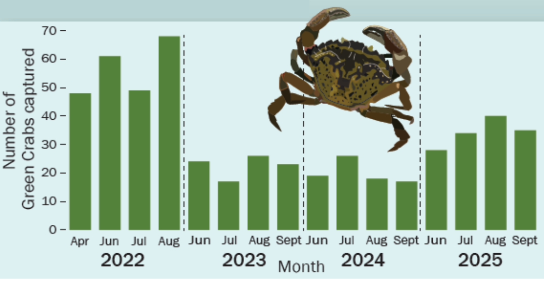
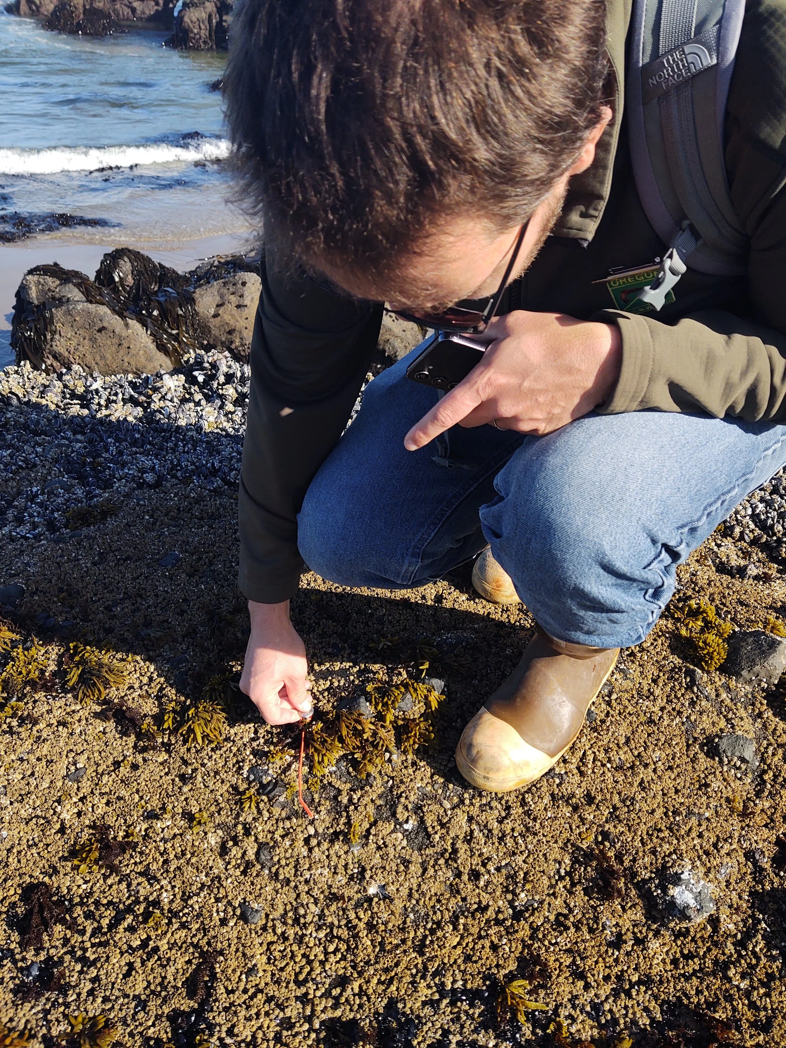
Green Crab
RIVER/ESTUARINE: Invasion by European Green Crabs (Carcinus maenas) has been linked to patterns of warm ocean currents, particularly those associated with strong El Niño events. These crabs do not out-compete native crabs for food, rather, they damage Eelgrass (Zostera marina) beds that provide key habitat for many species of crustaceans, fish, and other creatures. Captured Green Crabs were donated to Hatfield Marine Science Center as crunchy snacks for rehabilitating Giant Pacific Octopus (Enteroctopus dofleini) and Wolf Eel (Anarrhichthys ocellatus).
In this collaborative monitoring project, we captured Green Crabs using fukui traps at 3 sites (6 traps per site) at Salmon River Estuary. Methods for this citizen-science effort are consistent with other coastal monitoring projects, allowing for coast-wide data compatibility.
Climate Invader
After 4 years of monitoring, we have found that there is a self-reproducing population of Green Crabs at Salmon River Estuary. We have also seen strong variation in captured crab numbers over the 4 years of this study.
Captured Green Crabs were donated to Hatfield Marine Science Center as crunchy snacks for rehabilitating Giant Pacific Octopus (Enteroctopus dofleini) and Wolf Eel (Anarrhichthys ocellatus).
Ocean Acidification Monitoring
NEARSHORE: With increase carbon dioxide comes increased threat of Ocean Acidification, requiring ongoing monitoring. Enjoy a morning with Dick Vander Schaaf, Associate Coast and Marine Conservation Director, for The Nature Conservancy of Oregon deploying a highly sensitive pH and temperature instrument in the Cascade Head Marine Reserve.
MUSSEL MONITORING
NEARSHORE: New project under development collecting data on native mussel beds in the Cascade Head Marine Reserve and Marine Protected Area. Data collection to supplement and serve as comparison to Oregon Department of Fish and Wildlife datasets previously collected.
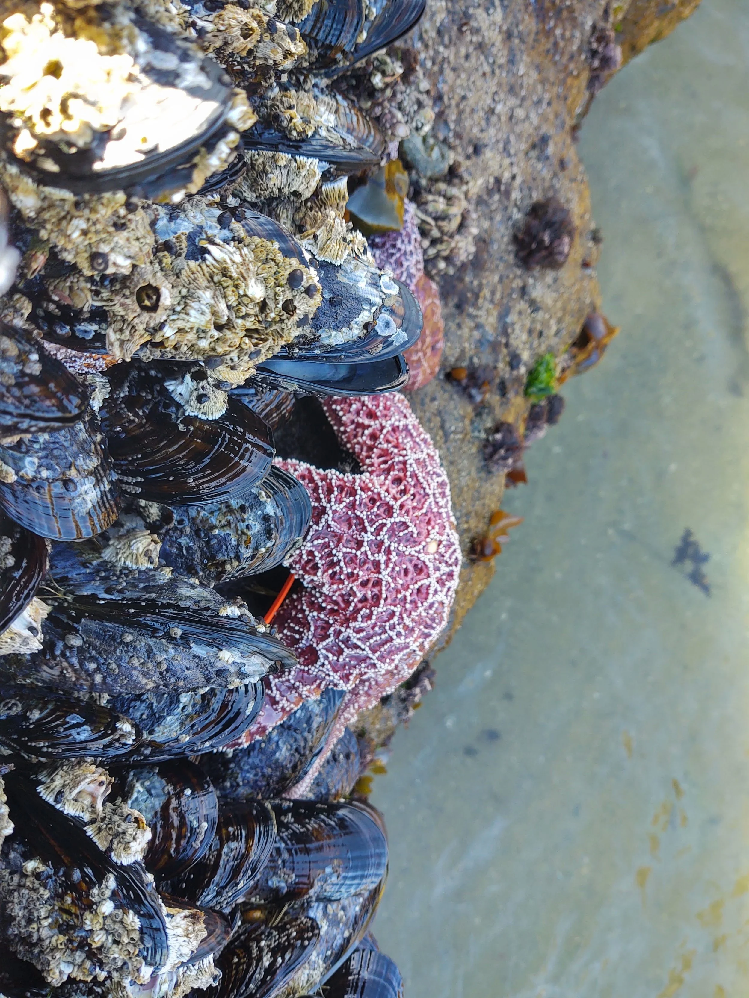

Sea Star Monitoring
NEARSHORE: Born out of the sea star wasting days, this program collected data on every child’s favorite tidepool species, and recorded valuable data under the guidance of marine biologists, monitoring the health of these organisms of the NEARSHORE.
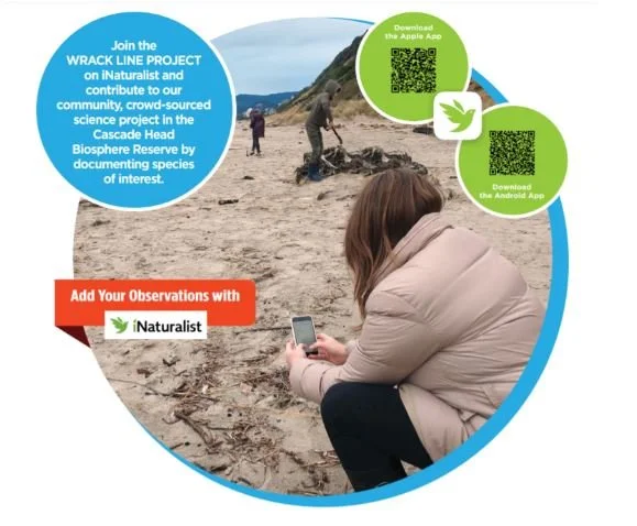
WRACK LINE
OCEANIC: Help science by capturing what is washing ashore using a simple smartphone app. Make Observations by taking photos of the plants and animals that line the high tide mark as in indicator of life in the ocean.
VIDEO: The WRACK LINE Project introduced in 2 minutes.
EASY As 1,2,3,4
Download the iNaturalist App (Android / iPhone)
Join the WRACK LINE Project on iNaturalist
Make Observations from the high tide line on the app
Add your Observations to the WRACK LINE Project
Need Help? View the How To use iNaturalist Video